“Thursday Postcard Hunt” is hosted by Violet @ See It On A Postcard This month’s themes:
Week 1 – UNESCO
Week2 – Sculptures or statues
Week3 – Illustrations
Week 4 –Maps
Week 5 – Halloween, Orange and Black
Everyone is welcome to share their postcards! Simply link to See It On A Postcard by leaving a comment.
Postcard from New Zealand
New Zealand is an island country in the southwestern Pacific Ocean. It consists of two main landmasses—the North Island and the South Island —and over 700 smaller islands.
Postcards from Great Britain
Housework, 1955 by Editions Rossignol
In the Welsh language Wales is actually Cymru pronounced Cumree; it is actually the English speakers who call Wales Cymru. The word literally means “a fellow-countryman”. The name Wales is from the Germanic word “Walha” meaning foreigner which is the Anglo Saxon name for the Welsh, strangely the invaders called the inhabitants of the country foreigners
Samos is a Greek island in the eastern Aegean Sea, separated from Turkey by the mile-wide Mycale Strait. It was the birthplace of the mathematician Pythagoras and the philosopher Epicurus, and is known for producing sweet Muscat wine.
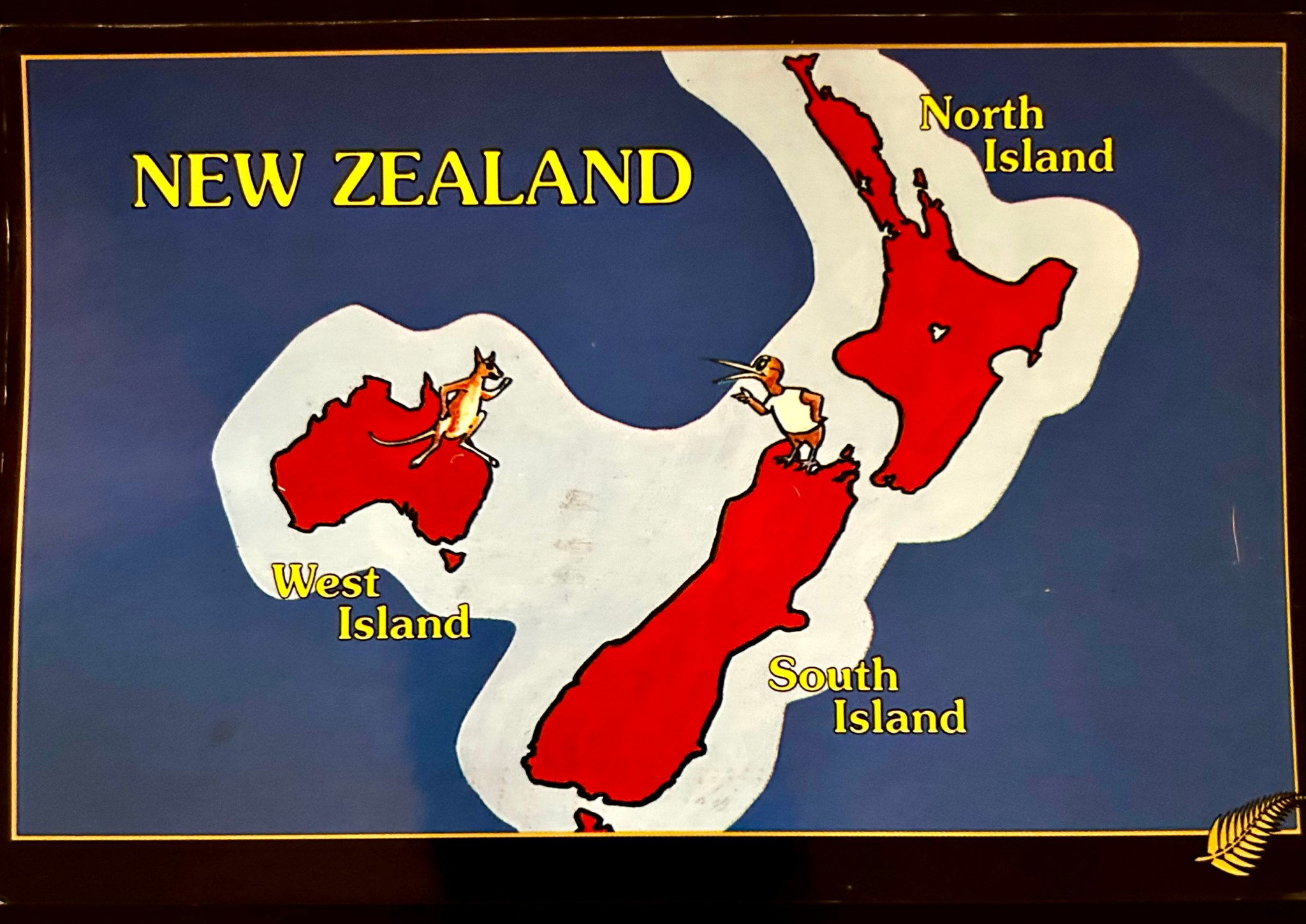
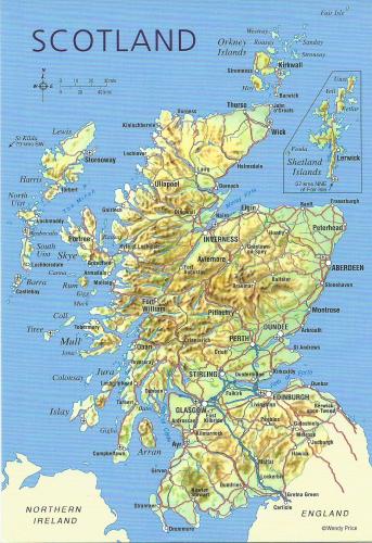

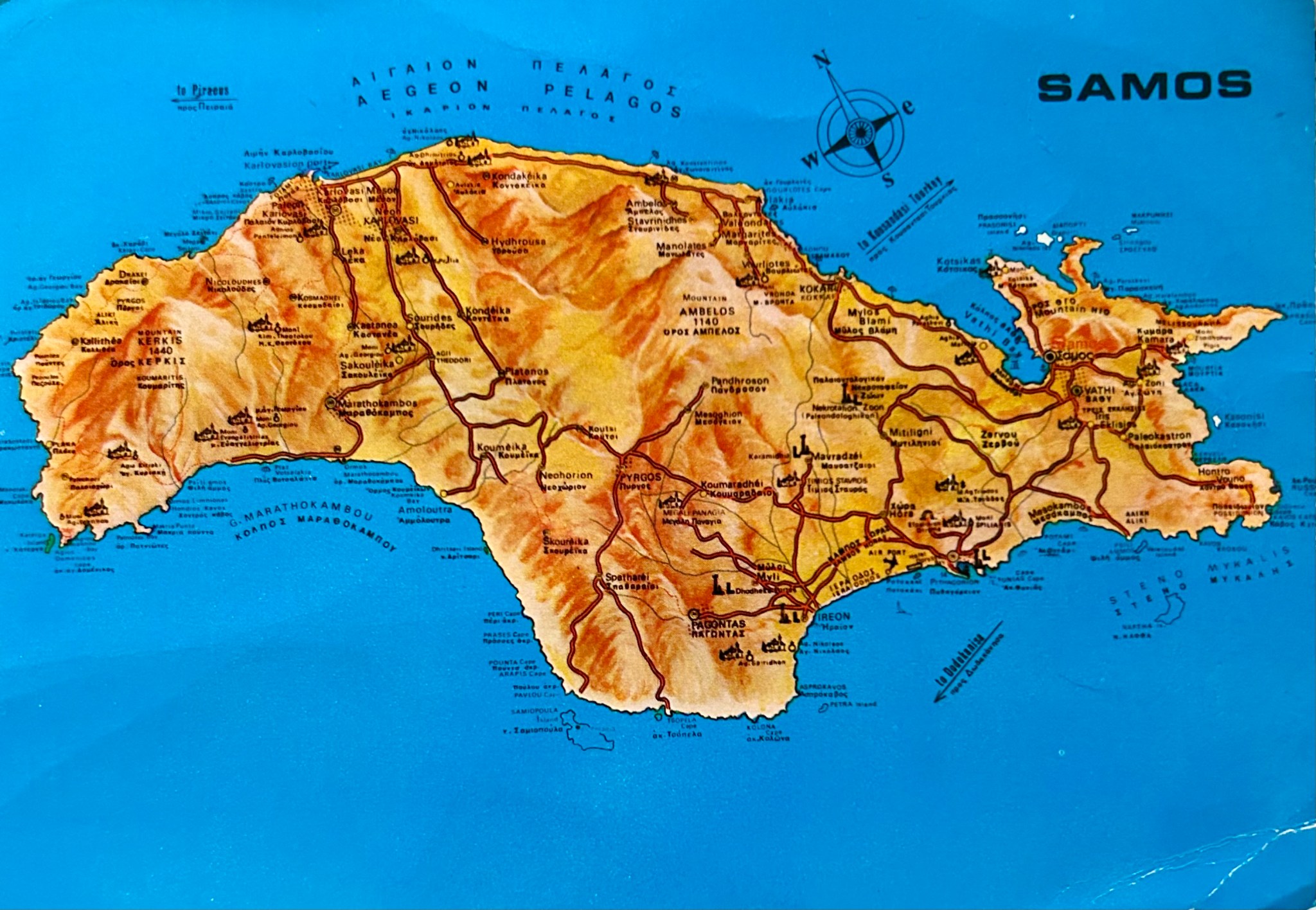


Postcards with maps are very informative, I love them. Especially the first one, with that little Australia 😀
I was about to publish a map of Scotland today, too!
LikeLike
I love maps too! Very much!
LikeLike
I’m always surprised at how many little islands there are!
~violet
LikeLike
😆
LikeLike
That’s a very clear map of New Zealand’s islands. I love the kangaroo arguing with the kiwi! It looks like the kiwi is taunting the kangaroo!
LikeLike
yes, that;s cute!
LikeLike
Yes the New Zealand card is funny, I thought they were waving. Maps with dragons are the best.
LikeLike
I don’t think they are waving…see the other “hand” on their hips? 😄
LikeLike